King's Stone, Luncarty
Introduction
The photograph on this page of King's Stone, Luncarty by Chris HIne as part of the Geograph project.
The Geograph project started in 2005 with the aim of publishing, organising and preserving representative images for every square kilometre of Great Britain, Ireland and the Isle of Man.

There are currently over 7.5m images from over 14,400 individuals and you can help contribute to the project by visiting https://www.geograph.org.uk
King's Stone, Luncarty
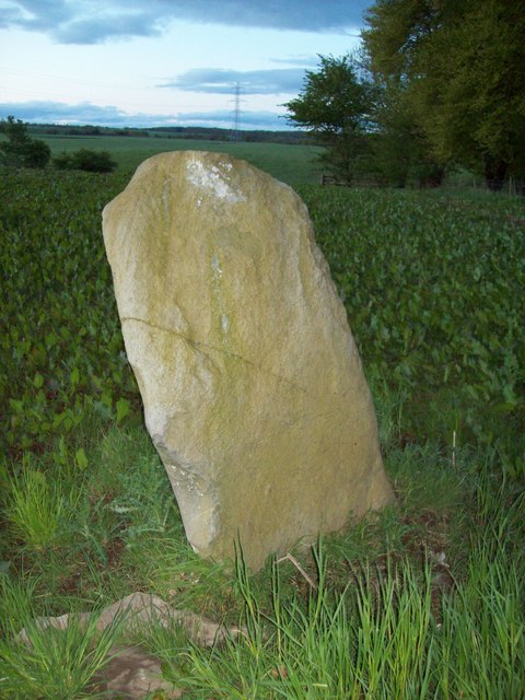
Image: © Chris HIne Taken: 10 Apr 2009
Standing stone seen from the river path. The King's Stone paired with one to the West (East of) Denmarkfield farm historically associated with the battle of Luncarty.
Images are licensed for reuse under creativecommons.org/licenses/by-sa/2.0
Image Location
Latitude
56.438028
Longitude
-3.46625