St Leonards Church, Seaford
Introduction
The photograph on this page of St Leonards Church, Seaford by Paul Gillett as part of the Geograph project.
The Geograph project started in 2005 with the aim of publishing, organising and preserving representative images for every square kilometre of Great Britain, Ireland and the Isle of Man.

There are currently over 7.5m images from over 14,400 individuals and you can help contribute to the project by visiting https://www.geograph.org.uk
St Leonards Church, Seaford
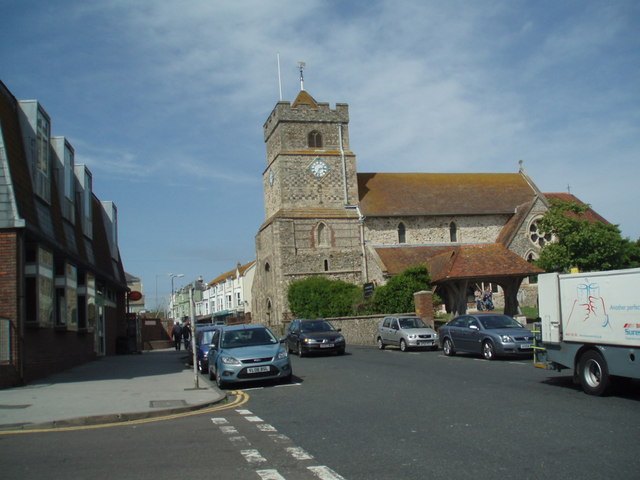
Image: © Paul Gillett Taken: 9 May 2009
The church dates from the early 11th century, although there have been many additions since that time. Brown patches on some of the stonework are burn marks; these are the results of attacks by the French during the Hundred Years War, which started in 1338. http://www.roughwood.net/ChurchAlbum/EastSussex/Seaford/SeafordStLeonard2004.htm
Images are licensed for reuse under creativecommons.org/licenses/by-sa/2.0
Image Location
Latitude
50.77076
Longitude
0.100352