Blatchington Court Woods
Introduction
The photograph on this page of Blatchington Court Woods by Paul Gillett as part of the Geograph project.
The Geograph project started in 2005 with the aim of publishing, organising and preserving representative images for every square kilometre of Great Britain, Ireland and the Isle of Man.

There are currently over 7.5m images from over 14,400 individuals and you can help contribute to the project by visiting https://www.geograph.org.uk
Blatchington Court Woods
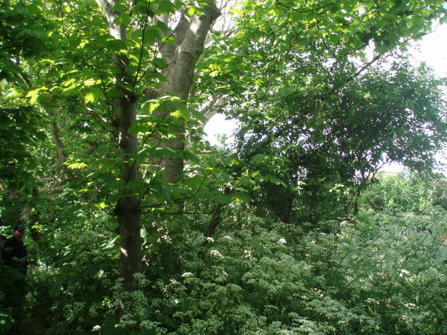
Image: © Paul Gillett Taken: 9 May 2009
These woods belonged to Blatchington Court School until the school was closed in 1985
Images are licensed for reuse under creativecommons.org/licenses/by-sa/2.0
Image Location


Leaflet Map data © OpenStreetMap
Latitude
50.777205
Longitude
0.10206