Bransgore, field boundary
Introduction
The photograph on this page of Bransgore, field boundary by Mike Faherty as part of the Geograph project.
The Geograph project started in 2005 with the aim of publishing, organising and preserving representative images for every square kilometre of Great Britain, Ireland and the Isle of Man.

There are currently over 7.5m images from over 14,400 individuals and you can help contribute to the project by visiting https://www.geograph.org.uk
Bransgore, field boundary
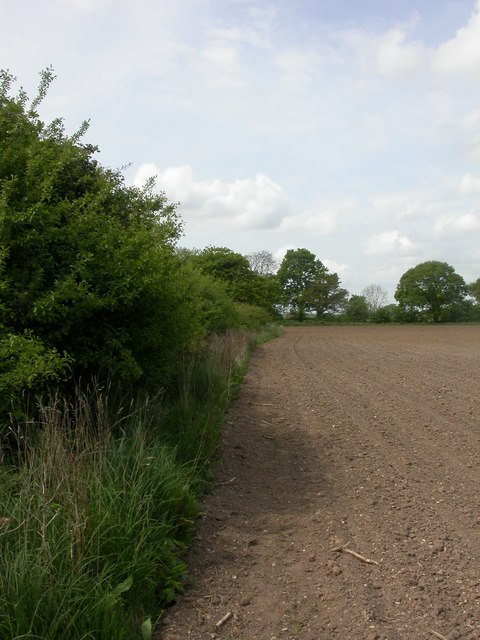
Image: © Mike Faherty Taken: 10 May 2009
The footpath from Bransgore to Ripley passes along the edge of this recently ploughed field; a few footprints point the way.
Images are licensed for reuse under creativecommons.org/licenses/by-sa/2.0
Image Location
Latitude
50.78105
Longitude
-1.755556