Churchyard of St. Michael and All Angels Hartlip
Introduction
The photograph on this page of Churchyard of St. Michael and All Angels Hartlip by pam fray as part of the Geograph project.
The Geograph project started in 2005 with the aim of publishing, organising and preserving representative images for every square kilometre of Great Britain, Ireland and the Isle of Man.

There are currently over 7.5m images from over 14,400 individuals and you can help contribute to the project by visiting https://www.geograph.org.uk
Churchyard of St. Michael and All Angels Hartlip
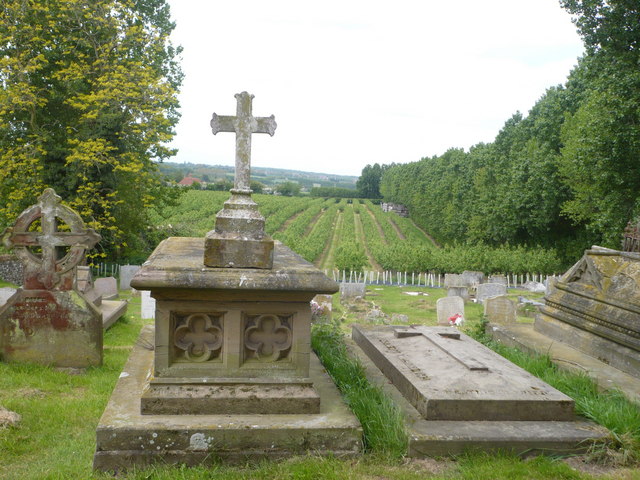
Image: © pam fray Taken: 10 May 2009
A footpath leads to Dane Lane and can be seen to the right of the photograph next to farmland by the line of trees.
Images are licensed for reuse under creativecommons.org/licenses/by-sa/2.0
Image Location


Leaflet Map data © OpenStreetMap
Latitude
51.348048
Longitude
0.638189