Barn at Edgebold
Introduction
The photograph on this page of Barn at Edgebold by Mike White as part of the Geograph project.
The Geograph project started in 2005 with the aim of publishing, organising and preserving representative images for every square kilometre of Great Britain, Ireland and the Isle of Man.

There are currently over 7.5m images from over 14,400 individuals and you can help contribute to the project by visiting https://www.geograph.org.uk
Barn at Edgebold
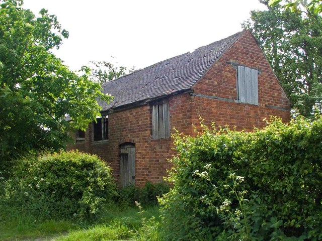
Image: © Mike White Taken: 9 May 2009
Definitely a doer-upper, looks like a cottage converted to a barn by bricking up the windows. Now ripe for conversion back to a cottage.
Images are licensed for reuse under creativecommons.org/licenses/by-sa/2.0
Image Location
Latitude
52.696674
Longitude
-2.786715