St George's URF Church, Lord Street
Introduction
The photograph on this page of St George's URF Church, Lord Street by Sue Adair as part of the Geograph project.
The Geograph project started in 2005 with the aim of publishing, organising and preserving representative images for every square kilometre of Great Britain, Ireland and the Isle of Man.

There are currently over 7.5m images from over 14,400 individuals and you can help contribute to the project by visiting https://www.geograph.org.uk
St George's URF Church, Lord Street
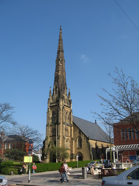
Image: © Sue Adair Taken: 18 Apr 2009
The elegant steeple of St George's United Reformed Church, founded in 1874, stands proudly in the centre of Lord Street.
Images are licensed for reuse under creativecommons.org/licenses/by-sa/2.0
Image Location


Leaflet Map data © OpenStreetMap
Latitude
53.649627
Longitude
-3.00148