Crichneyled Croft
Introduction
The photograph on this page of Crichneyled Croft by Anne Burgess as part of the Geograph project.
The Geograph project started in 2005 with the aim of publishing, organising and preserving representative images for every square kilometre of Great Britain, Ireland and the Isle of Man.

There are currently over 7.5m images from over 14,400 individuals and you can help contribute to the project by visiting https://www.geograph.org.uk
Crichneyled Croft
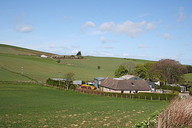
Image: © Anne Burgess Taken: 7 May 2009
Although so named on the maps, there has been considerable development here, with new buildings and evidence of industrial activity. Stoneyfield is on the hill in the background.
Images are licensed for reuse under creativecommons.org/licenses/by-sa/2.0
Image Location
Latitude
57.398172
Longitude
-2.380023