Mill of Crichie Den
Introduction
The photograph on this page of Mill of Crichie Den by Anne Burgess as part of the Geograph project.
The Geograph project started in 2005 with the aim of publishing, organising and preserving representative images for every square kilometre of Great Britain, Ireland and the Isle of Man.

There are currently over 7.5m images from over 14,400 individuals and you can help contribute to the project by visiting https://www.geograph.org.uk
Mill of Crichie Den
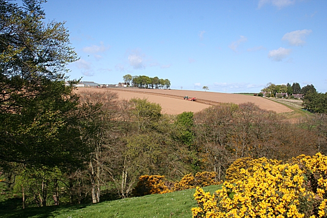
Image: © Anne Burgess Taken: 7 May 2009
The den is marked by the trees alongside the burn, which provided power for both Mill of Crichie and Mill of Petty further downstream. The farm on the skyline at left is Petty Farm and on the right are houses at Belvidere.
Images are licensed for reuse under creativecommons.org/licenses/by-sa/2.0
Image Location
Latitude
57.418616
Longitude
-2.392055