Sheffield: Furnival Road
Introduction
The photograph on this page of Sheffield: Furnival Road by Chris Downer as part of the Geograph project.
The Geograph project started in 2005 with the aim of publishing, organising and preserving representative images for every square kilometre of Great Britain, Ireland and the Isle of Man.

There are currently over 7.5m images from over 14,400 individuals and you can help contribute to the project by visiting https://www.geograph.org.uk
Sheffield: Furnival Road
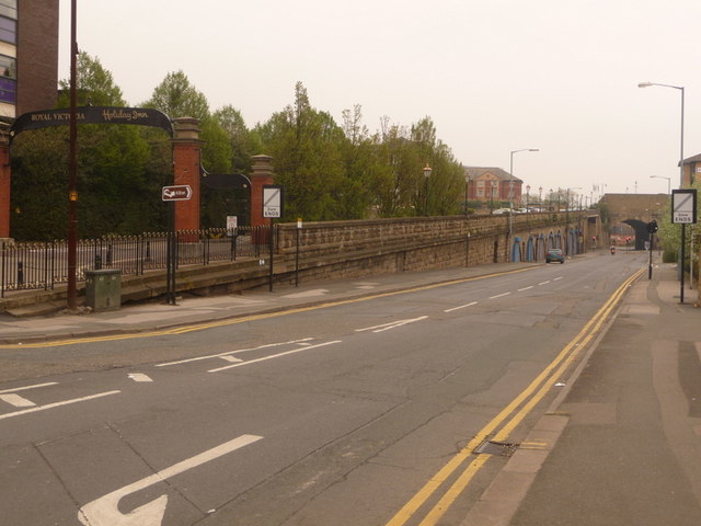
Image: © Chris Downer Taken: 19 Apr 2009
Furnival Road heads north towards the new section of the ring road while on its left, Victoria Station Road heads parallel but uphill to the Holiday Inn, for which it is now basically a private drive. The Holiday Inn indeed used to be the hotel alongside Royal Victoria Station – there is still a railway line but it hasn't seen a passenger rail service for many, many years.
Images are licensed for reuse under creativecommons.org/licenses/by-sa/2.0
Image Location
Latitude
53.385465
Longitude
-1.460516