Western approach to Penrhyncoch
Introduction
The photograph on this page of Western approach to Penrhyncoch by Nigel Brown as part of the Geograph project.
The Geograph project started in 2005 with the aim of publishing, organising and preserving representative images for every square kilometre of Great Britain, Ireland and the Isle of Man.

There are currently over 7.5m images from over 14,400 individuals and you can help contribute to the project by visiting https://www.geograph.org.uk
Western approach to Penrhyncoch
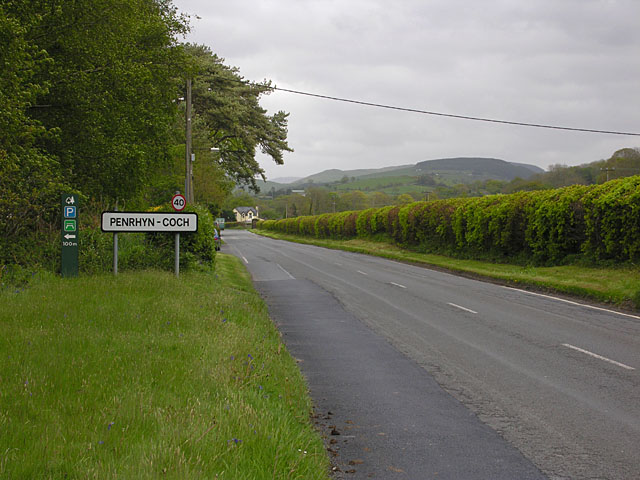
Image: © Nigel Brown Taken: 7 May 2009
As the village has become more bloated over the years, so have its boundaries expanded outwards; the boundary used to be a considerably further east.
Images are licensed for reuse under creativecommons.org/licenses/by-sa/2.0
Image Location
Latitude
52.434447
Longitude
-4.009593