Hubbard's Bridge over CTRL
Introduction
The photograph on this page of Hubbard's Bridge over CTRL by David Anstiss as part of the Geograph project.
The Geograph project started in 2005 with the aim of publishing, organising and preserving representative images for every square kilometre of Great Britain, Ireland and the Isle of Man.

There are currently over 7.5m images from over 14,400 individuals and you can help contribute to the project by visiting https://www.geograph.org.uk
Hubbard's Bridge over CTRL
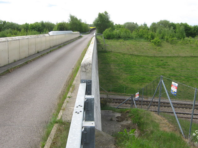
Image: © David Anstiss Taken: 4 May 2009
This is an access road to Hubbard's Farm. It crosses over the Channel Tunnel Rail Link heading left to Ashford/Folkestone from Ebbsfleet/London. The bridge is also used by the Stour Valley Walk (long distance path) heading to Burnt Mill.
Images are licensed for reuse under creativecommons.org/licenses/by-sa/2.0
Image Location
Latitude
51.21546
Longitude
0.729126