Bridge at Polbrock
Introduction
The photograph on this page of Bridge at Polbrock by Andy F as part of the Geograph project.
The Geograph project started in 2005 with the aim of publishing, organising and preserving representative images for every square kilometre of Great Britain, Ireland and the Isle of Man.

There are currently over 7.5m images from over 14,400 individuals and you can help contribute to the project by visiting https://www.geograph.org.uk
Bridge at Polbrock
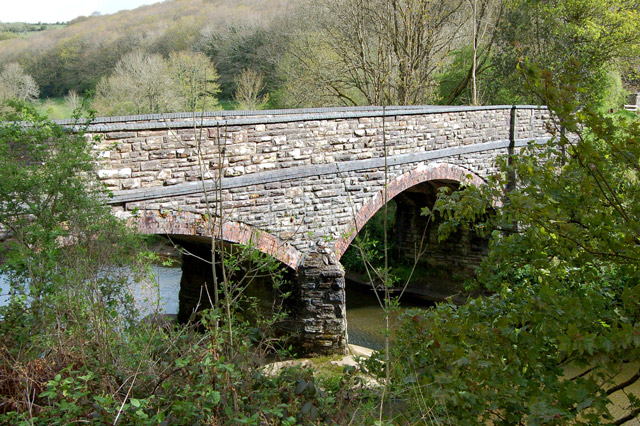
Image: © Andy F Taken: 2 May 2009
This bridge carries the lane from Burlawn to Sladesbridge over the River Camel.
Images are licensed for reuse under creativecommons.org/licenses/by-sa/2.0
Image Location


Leaflet Map data © OpenStreetMap
Latitude
50.491555
Longitude
-4.801566