Path with confusing access right, near Waterperry
Introduction
The photograph on this page of Path with confusing access right, near Waterperry by David Hawgood as part of the Geograph project.
The Geograph project started in 2005 with the aim of publishing, organising and preserving representative images for every square kilometre of Great Britain, Ireland and the Isle of Man.

There are currently over 7.5m images from over 14,400 individuals and you can help contribute to the project by visiting https://www.geograph.org.uk
Path with confusing access right, near Waterperry
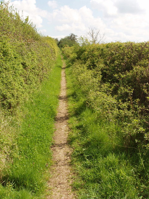
Image: © David Hawgood Taken: 1 May 2009
This path is marked on the map as "Other route with public access". The North end has an Oxfordshire County Council public footpath disk. The south end near Parsons Farm has an Oxfordshire County Council notice saying that cyclists must use this path rather than a public footpath which is the Oxfordshire Way at that point.
Images are licensed for reuse under creativecommons.org/licenses/by-sa/2.0
Image Location
Latitude
51.771707
Longitude
-1.109091