Council office demolition, phase 2.
Introduction
The photograph on this page of Council office demolition, phase 2. by John Goldsmith as part of the Geograph project.
The Geograph project started in 2005 with the aim of publishing, organising and preserving representative images for every square kilometre of Great Britain, Ireland and the Isle of Man.

There are currently over 7.5m images from over 14,400 individuals and you can help contribute to the project by visiting https://www.geograph.org.uk
Council office demolition, phase 2.
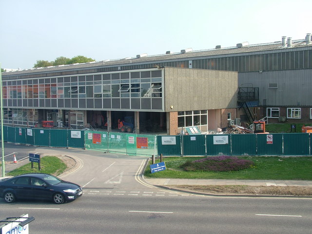
Image: © John Goldsmith Taken: 23 Apr 2009
The first stage of the new Public Service Village is now open and demolition moves on to the next office block. This was the first building in Western Way in the early 1960s - there is a photo of the foundation stone somewhere on Geograph. At that time it was owned by US road making machinery company Barber Greene. Demolishing the ground floor first is not the most obvious of plans.
Images are licensed for reuse under creativecommons.org/licenses/by-sa/2.0
Image Location
Latitude
52.251437
Longitude
0.697047