Lane at Higham
Introduction
The photograph on this page of Lane at Higham by Chris Holifield as part of the Geograph project.
The Geograph project started in 2005 with the aim of publishing, organising and preserving representative images for every square kilometre of Great Britain, Ireland and the Isle of Man.

There are currently over 7.5m images from over 14,400 individuals and you can help contribute to the project by visiting https://www.geograph.org.uk
Lane at Higham
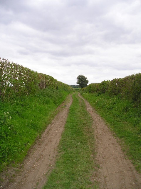
Image: © Chris Holifield Taken: 4 May 2009
Looking up the lane towards Wasses Farm from the footpath which leads towards Higham village from the River Stour.
Images are licensed for reuse under creativecommons.org/licenses/by-sa/2.0
Image Location
Latitude
51.97953
Longitude
0.950252