Royal Arms, Tockholes
Introduction
The photograph on this page of Royal Arms, Tockholes by Trevor Harris as part of the Geograph project.
The Geograph project started in 2005 with the aim of publishing, organising and preserving representative images for every square kilometre of Great Britain, Ireland and the Isle of Man.

There are currently over 7.5m images from over 14,400 individuals and you can help contribute to the project by visiting https://www.geograph.org.uk
Royal Arms, Tockholes
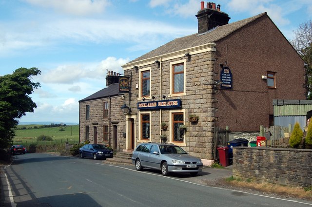
Image: © Trevor Harris Taken: 3 May 2009
As well as the pub, the tiny village of Tockholes (pronounced Tockles) boasts an excellent cafe/information centre.
Images are licensed for reuse under creativecommons.org/licenses/by-sa/2.0
Image Location
Latitude
53.689155
Longitude
-2.508937