Bridleway to Pen-twyn
Introduction
The photograph on this page of Bridleway to Pen-twyn by Graham Horn as part of the Geograph project.
The Geograph project started in 2005 with the aim of publishing, organising and preserving representative images for every square kilometre of Great Britain, Ireland and the Isle of Man.

There are currently over 7.5m images from over 14,400 individuals and you can help contribute to the project by visiting https://www.geograph.org.uk
Bridleway to Pen-twyn
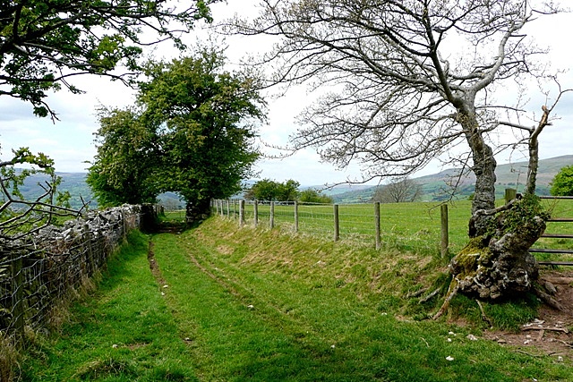
Image: © Graham Horn Taken: 3 May 2009
There are many bridleways giving access to the western slopes of Sugar Loaf. This is one of them through sheep pasture on the lower slopes.
Images are licensed for reuse under creativecommons.org/licenses/by-sa/2.0
Image Location
Latitude
51.855289
Longitude
-3.087176