Coal on the Marches line
Introduction
The photograph on this page of Coal on the Marches line by Stuart Wilding as part of the Geograph project.
The Geograph project started in 2005 with the aim of publishing, organising and preserving representative images for every square kilometre of Great Britain, Ireland and the Isle of Man.

There are currently over 7.5m images from over 14,400 individuals and you can help contribute to the project by visiting https://www.geograph.org.uk
Coal on the Marches line
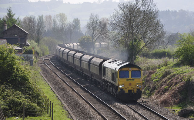
Image: © Stuart Wilding Taken: 20 Apr 2009
Portbury to Rugeley Power Station coal service passes the site of the former Penpergwm station.
Images are licensed for reuse under creativecommons.org/licenses/by-sa/2.0
Image Location
Latitude
51.784745
Longitude
-2.980664