The bridle path between Studholme Crescent and Winslow Close
Introduction
The photograph on this page of The bridle path between Studholme Crescent and Winslow Close by Mari Buckley as part of the Geograph project.
The Geograph project started in 2005 with the aim of publishing, organising and preserving representative images for every square kilometre of Great Britain, Ireland and the Isle of Man.

There are currently over 7.5m images from over 14,400 individuals and you can help contribute to the project by visiting https://www.geograph.org.uk
The bridle path between Studholme Crescent and Winslow Close
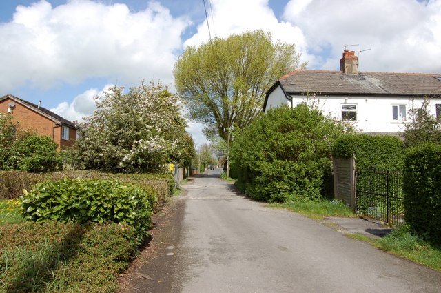
Image: © Mari Buckley Taken: 2 May 2009
This little footpath/bridle path runs alongside the little park, on the left, and the old farmhouse of Studholme Farm. The white cottages on the right are on Giller Drive, and are old farm workers' cottages. The big tree in the middle is a protected tree, of historical importance, and is home to many a magpie !!
Images are licensed for reuse under creativecommons.org/licenses/by-sa/2.0
Image Location
Latitude
53.734417
Longitude
-2.707584