Claydon House: The Middle Lake
Introduction
The photograph on this page of Claydon House: The Middle Lake by Nigel Cox as part of the Geograph project.
The Geograph project started in 2005 with the aim of publishing, organising and preserving representative images for every square kilometre of Great Britain, Ireland and the Isle of Man.

There are currently over 7.5m images from over 14,400 individuals and you can help contribute to the project by visiting https://www.geograph.org.uk
Claydon House: The Middle Lake
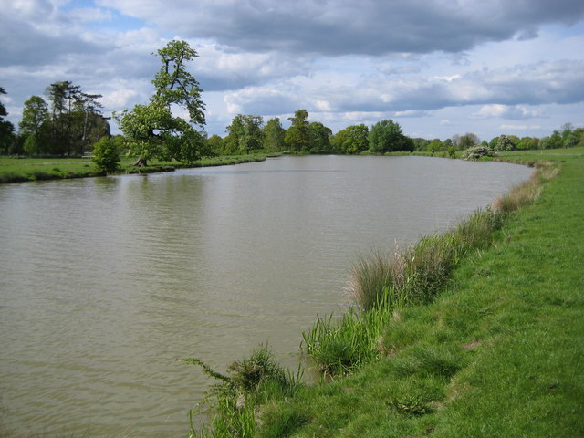
Image: © Nigel Cox Taken: 3 May 2009
In the grounds of Claydon House three lakes forming a crescent shape were created for the 2nd Earl Verney in the 1760s and 1770s by the landscaping of the land along a minor tributary stream of Padbury Brook under the direction of John Sanderson of Caversham. This is the Middle Lake of the three.
Images are licensed for reuse under creativecommons.org/licenses/by-sa/2.0
Image Location
Latitude
51.9226
Longitude
-0.958366