St Winifred's Road, Shirley
Introduction
The photograph on this page of St Winifred's Road, Shirley by Jim Champion as part of the Geograph project.
The Geograph project started in 2005 with the aim of publishing, organising and preserving representative images for every square kilometre of Great Britain, Ireland and the Isle of Man.

There are currently over 7.5m images from over 14,400 individuals and you can help contribute to the project by visiting https://www.geograph.org.uk
St Winifred's Road, Shirley
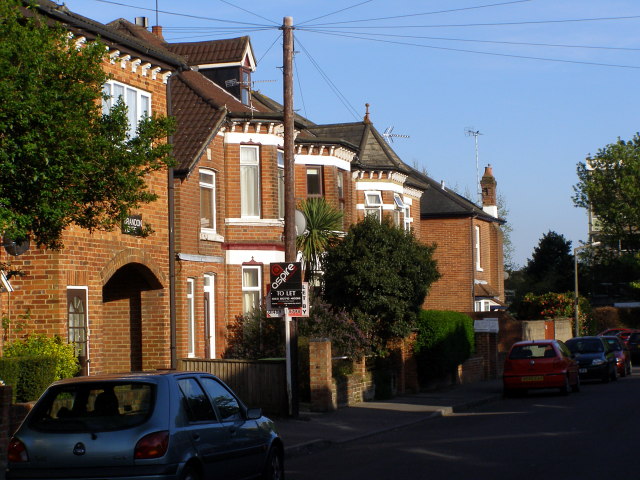
Image: © Jim Champion Taken: 21 Apr 2009
The houses on the left are on the north-east side of St Winifred's Road. The junction with Winchester Road is blocked off to vehicles, access is via Vinery Road and St James' Park Road. On the far left is Brandon House.
Images are licensed for reuse under creativecommons.org/licenses/by-sa/2.0
Image Location
Latitude
50.92919
Longitude
-1.429786