Pipers Lane
Introduction
The photograph on this page of Pipers Lane by Simon Carey as part of the Geograph project.
The Geograph project started in 2005 with the aim of publishing, organising and preserving representative images for every square kilometre of Great Britain, Ireland and the Isle of Man.

There are currently over 7.5m images from over 14,400 individuals and you can help contribute to the project by visiting https://www.geograph.org.uk
Pipers Lane
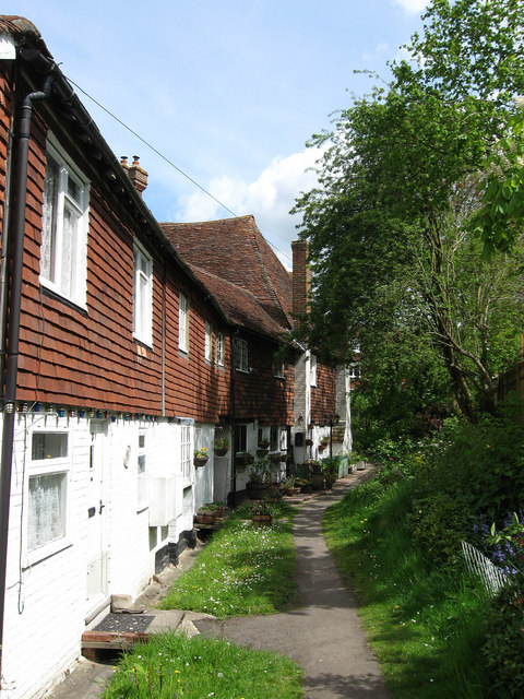
Image: © Simon Carey Taken: 3 May 2009
Pipers Cottage is on the left. The lane originally led down to Darwell Stream but has been built over by the Willow Bank estate. It is now a public footpath.
Images are licensed for reuse under creativecommons.org/licenses/by-sa/2.0
Image Location
Latitude
50.984326
Longitude
0.474022