Tiverton : Aerial View
Introduction
The photograph on this page of Tiverton : Aerial View by Lewis Clarke as part of the Geograph project.
The Geograph project started in 2005 with the aim of publishing, organising and preserving representative images for every square kilometre of Great Britain, Ireland and the Isle of Man.

There are currently over 7.5m images from over 14,400 individuals and you can help contribute to the project by visiting https://www.geograph.org.uk
Tiverton : Aerial View
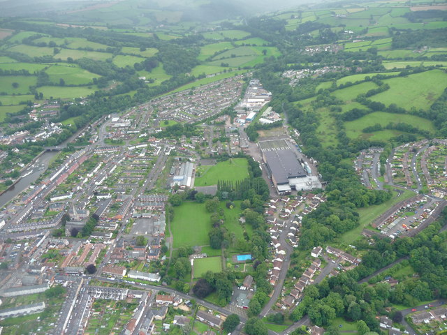
Image: © Lewis Clarke Taken: 19 Aug 2008
The River Exe, Westexe Rec, Heathcoat Primary School and St Paul's Church can all be seen in this helicopter view.
Images are licensed for reuse under creativecommons.org/licenses/by-sa/2.0
Image Location
Latitude
50.903456
Longitude
-3.496062