Charlesfield Road
Introduction
The photograph on this page of Charlesfield Road by Ian Capper as part of the Geograph project.
The Geograph project started in 2005 with the aim of publishing, organising and preserving representative images for every square kilometre of Great Britain, Ireland and the Isle of Man.

There are currently over 7.5m images from over 14,400 individuals and you can help contribute to the project by visiting https://www.geograph.org.uk
Charlesfield Road
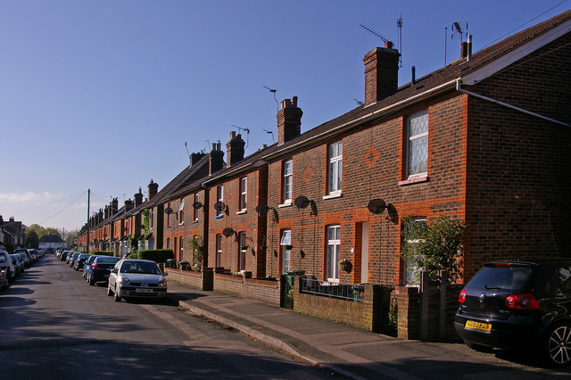
Image: © Ian Capper Taken: 26 Apr 2009
Late Victorian/Edwardian terrace off Horley Row. Mapping from that period shows it to be an isolated development, with only a few larger houses in Horley Row in the immediate neighbourhood.
Images are licensed for reuse under creativecommons.org/licenses/by-sa/2.0
Image Location
Latitude
51.179343
Longitude
-0.172694