Redevelopment of industrial building - Yeovil
Introduction
The photograph on this page of Redevelopment of industrial building - Yeovil by Sarah Smith as part of the Geograph project.
The Geograph project started in 2005 with the aim of publishing, organising and preserving representative images for every square kilometre of Great Britain, Ireland and the Isle of Man.

There are currently over 7.5m images from over 14,400 individuals and you can help contribute to the project by visiting https://www.geograph.org.uk
Redevelopment of industrial building - Yeovil
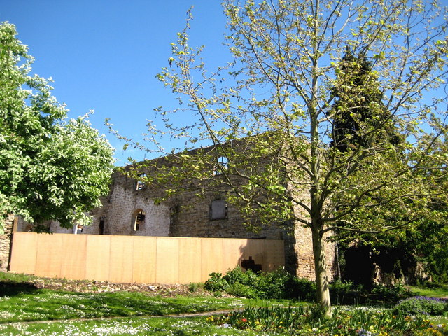
Image: © Sarah Smith Taken: 1 May 2009
Rebuilding has started on this old stone edifice at the bottom of Reckleford.
Images are licensed for reuse under creativecommons.org/licenses/by-sa/2.0
Image Location
Latitude
50.943648
Longitude
-2.626227