The White House, Upper West Street
Introduction
The photograph on this page of The White House, Upper West Street by Ian Capper as part of the Geograph project.
The Geograph project started in 2005 with the aim of publishing, organising and preserving representative images for every square kilometre of Great Britain, Ireland and the Isle of Man.

There are currently over 7.5m images from over 14,400 individuals and you can help contribute to the project by visiting https://www.geograph.org.uk
The White House, Upper West Street
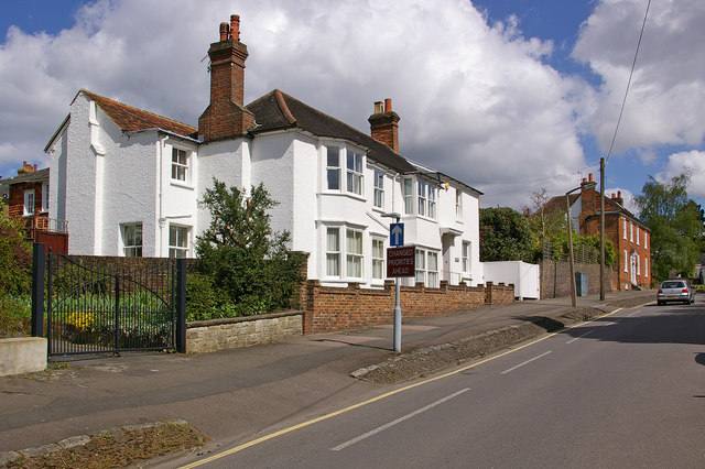
Image: © Ian Capper Taken: 25 Apr 2009
18th century house with 19th century addition on far end. Grade II listed - for listing particulars see www.historicengland.org.uk/listing/the-list/list-entry/1189119. Beyond is The Old House - see Image
Images are licensed for reuse under creativecommons.org/licenses/by-sa/2.0
Image Location
Latitude
51.239039
Longitude
-0.211804