Buildings at Seven Ash
Introduction
The photograph on this page of Buildings at Seven Ash by Derek Harper as part of the Geograph project.
The Geograph project started in 2005 with the aim of publishing, organising and preserving representative images for every square kilometre of Great Britain, Ireland and the Isle of Man.

There are currently over 7.5m images from over 14,400 individuals and you can help contribute to the project by visiting https://www.geograph.org.uk
Buildings at Seven Ash
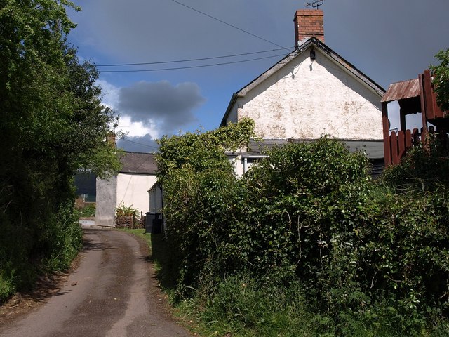
Image: © Derek Harper Taken: 25 Apr 2009
A lane that forms a triangle with the A358 (see Image) and the lane to Treble's Holford. I suppose this might once have been the main road.
Images are licensed for reuse under creativecommons.org/licenses/by-sa/2.0
Image Location
Latitude
51.092536
Longitude
-3.212415