Abandoned Methodist Church
Introduction
The photograph on this page of Abandoned Methodist Church by David Anstiss as part of the Geograph project.
The Geograph project started in 2005 with the aim of publishing, organising and preserving representative images for every square kilometre of Great Britain, Ireland and the Isle of Man.

There are currently over 7.5m images from over 14,400 individuals and you can help contribute to the project by visiting https://www.geograph.org.uk
Abandoned Methodist Church
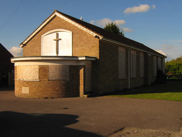
Image: © David Anstiss Taken: 28 Apr 2009
On Singleton Road, Great Chart. Has foundation stone near front which reads 'To the Glory of God. This stone was laid on 28th June 1962 by E.H. Richards Esq. J.P.'
Images are licensed for reuse under creativecommons.org/licenses/by-sa/2.0
Image Location
Latitude
51.143285
Longitude
0.836678