Donyatt; house and church tower
Introduction
The photograph on this page of Donyatt; house and church tower by Jonathan Billinger as part of the Geograph project.
The Geograph project started in 2005 with the aim of publishing, organising and preserving representative images for every square kilometre of Great Britain, Ireland and the Isle of Man.

There are currently over 7.5m images from over 14,400 individuals and you can help contribute to the project by visiting https://www.geograph.org.uk
Donyatt; house and church tower
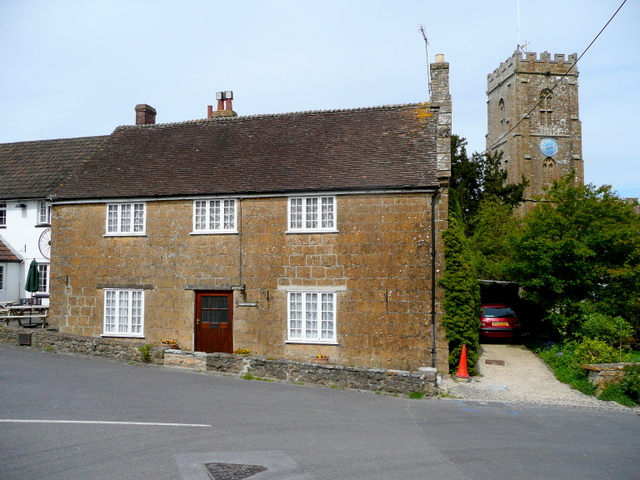
Image: © Jonathan Billinger Taken: 29 Apr 2009
The house is next to The George Inn (Image) on a bend in the A358 between Chard and Ilminster.
Images are licensed for reuse under creativecommons.org/licenses/by-sa/2.0
Image Location
Latitude
50.922105
Longitude
-2.941782