Water of Dunbeath
Introduction
The photograph on this page of Water of Dunbeath by Sandy Gemmill as part of the Geograph project.
The Geograph project started in 2005 with the aim of publishing, organising and preserving representative images for every square kilometre of Great Britain, Ireland and the Isle of Man.

There are currently over 7.5m images from over 14,400 individuals and you can help contribute to the project by visiting https://www.geograph.org.uk
Water of Dunbeath
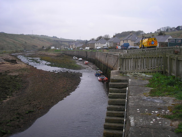
Image: © Sandy Gemmill Taken: 29 Apr 2009
The view of the Water of Dunbeath at low tide, compared to the river at high tide Image
Images are licensed for reuse under creativecommons.org/licenses/by-sa/2.0
Image Location
Latitude
58.245359
Longitude
-3.424099