Housing and bus shelter, South Brent
Introduction
The photograph on this page of Housing and bus shelter, South Brent by Derek Harper as part of the Geograph project.
The Geograph project started in 2005 with the aim of publishing, organising and preserving representative images for every square kilometre of Great Britain, Ireland and the Isle of Man.

There are currently over 7.5m images from over 14,400 individuals and you can help contribute to the project by visiting https://www.geograph.org.uk
Housing and bus shelter, South Brent
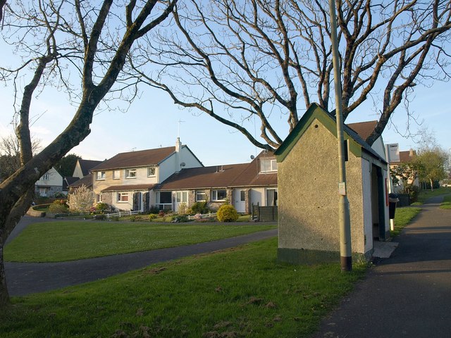
Image: © Derek Harper Taken: 22 Apr 2009
On the left is modern housing arranged at right angles to Sanderspool Cross, at the far left. Confusingly, Sanderspool Cross is also the name of the roundabout (see Image) further up the B3372, which is on the extreme right. On the right, a significant bus stop - it's the London Inn, timed calling point for the X80 and X38 services from Plymouth to Exeter and Torquay respectively. Except that it's about 100 metres up the hill from the London Inn, which is in a different square (see Image, which shows it). For a somewhat superior bus shelter nearby, see Image However, I was grateful for this one, as my bus was almost half an hour late.
Images are licensed for reuse under creativecommons.org/licenses/by-sa/2.0
Image Location
Latitude
50.423185
Longitude
-3.831135