Wolds' Farmland
Introduction
The photograph on this page of Wolds' Farmland by Andy Beecroft as part of the Geograph project.
The Geograph project started in 2005 with the aim of publishing, organising and preserving representative images for every square kilometre of Great Britain, Ireland and the Isle of Man.

There are currently over 7.5m images from over 14,400 individuals and you can help contribute to the project by visiting https://www.geograph.org.uk
Wolds' Farmland
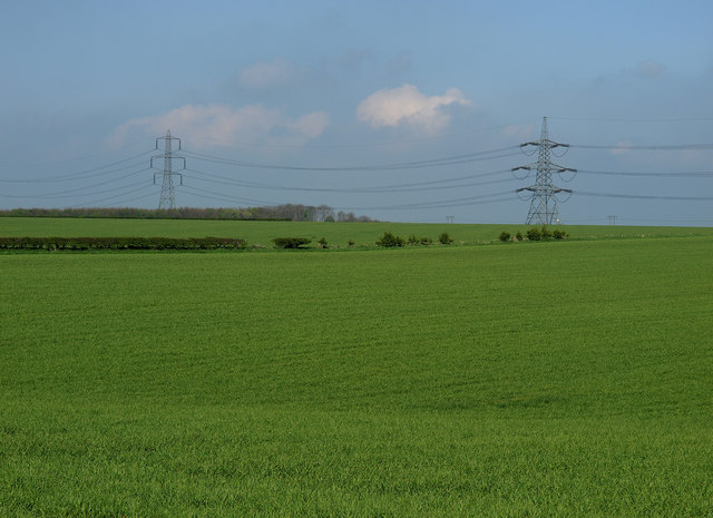
Image: © Andy Beecroft Taken: 29 Apr 2009
Taken 15m into the square looking in a NW direction. Farmland in this area is generally very fertile. The crop in the field will probably be wheat or barley.
Images are licensed for reuse under creativecommons.org/licenses/by-sa/2.0
Image Location
Latitude
53.835639
Longitude
-0.55286