Chilthorne Domer Primary School
Introduction
The photograph on this page of Chilthorne Domer Primary School by Nigel Mykura as part of the Geograph project.
The Geograph project started in 2005 with the aim of publishing, organising and preserving representative images for every square kilometre of Great Britain, Ireland and the Isle of Man.

There are currently over 7.5m images from over 14,400 individuals and you can help contribute to the project by visiting https://www.geograph.org.uk
Chilthorne Domer Primary School
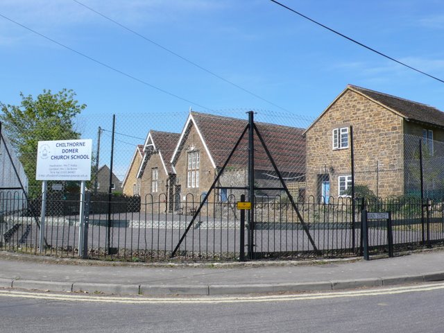
Image: © Nigel Mykura Taken: 21 Apr 2009
The school is situated at the southern end of the village on the corner of the junction of Main St and the Tintinhull Rd from Yeovil
Images are licensed for reuse under creativecommons.org/licenses/by-sa/2.0
Image Location
Latitude
50.965381
Longitude
-2.679493