The Old Rectory, Chilthorne Domer.
Introduction
The photograph on this page of The Old Rectory, Chilthorne Domer. by Nigel Mykura as part of the Geograph project.
The Geograph project started in 2005 with the aim of publishing, organising and preserving representative images for every square kilometre of Great Britain, Ireland and the Isle of Man.

There are currently over 7.5m images from over 14,400 individuals and you can help contribute to the project by visiting https://www.geograph.org.uk
The Old Rectory, Chilthorne Domer.
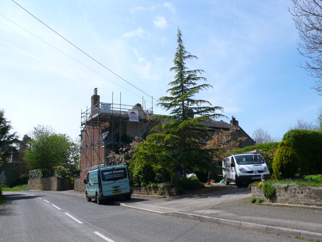
Image: © Nigel Mykura Taken: 21 Apr 2009
The second grandest house in the village after the Manor House. It is a few hundred metres south of the church and was undergoing extensive repairs when photographed.
Images are licensed for reuse under creativecommons.org/licenses/by-sa/2.0
Image Location
Latitude
50.97114
Longitude
-2.678865