Hendon Park
Introduction
The photograph on this page of Hendon Park by Nigel Mykura as part of the Geograph project.
The Geograph project started in 2005 with the aim of publishing, organising and preserving representative images for every square kilometre of Great Britain, Ireland and the Isle of Man.

There are currently over 7.5m images from over 14,400 individuals and you can help contribute to the project by visiting https://www.geograph.org.uk
Hendon Park
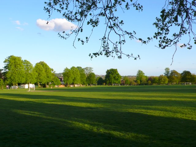
Image: © Nigel Mykura Taken: 25 Apr 2009
View south across the park from close to the B551 Queens Rd.
Images are licensed for reuse under creativecommons.org/licenses/by-sa/2.0
Image Location
Latitude
51.58258
Longitude
-0.220535