B7029 where it passes Dalziel Park
Introduction
The photograph on this page of B7029 where it passes Dalziel Park by G Laird as part of the Geograph project.
The Geograph project started in 2005 with the aim of publishing, organising and preserving representative images for every square kilometre of Great Britain, Ireland and the Isle of Man.

There are currently over 7.5m images from over 14,400 individuals and you can help contribute to the project by visiting https://www.geograph.org.uk
B7029 where it passes Dalziel Park
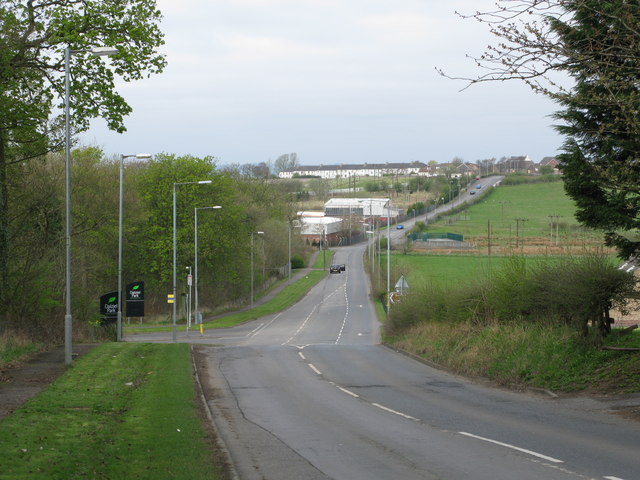
Image: © G Laird Taken: 12 Apr 2009
Looking west along the B7029, the Cleland to Carfin Road in the direction of Carfin, which can be seen in the distance. The entrance to Dalziel Park is on the left.
Images are licensed for reuse under creativecommons.org/licenses/by-sa/2.0
Image Location
Latitude
55.802812
Longitude
-3.946932