Track on Hill of Johnston
Introduction
The photograph on this page of Track on Hill of Johnston by Anne Burgess as part of the Geograph project.
The Geograph project started in 2005 with the aim of publishing, organising and preserving representative images for every square kilometre of Great Britain, Ireland and the Isle of Man.

There are currently over 7.5m images from over 14,400 individuals and you can help contribute to the project by visiting https://www.geograph.org.uk
Track on Hill of Johnston
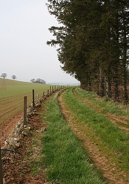
Image: © Anne Burgess Taken: 25 Apr 2009
The map shows this track leading from Cotetown to a dead end a few hundred yards from here. However the map is incorrect. There is no track from Cotetown. The track leads north-north-west from Johnston Farm until it meets the route of the mapped track, then sharp left to continue along the north slope of the Hill of Johnston.
Images are licensed for reuse under creativecommons.org/licenses/by-sa/2.0
Image Location
Latitude
57.315496
Longitude
-2.701415