Signals approaching Worcester
Introduction
The photograph on this page of Signals approaching Worcester by Stephen Craven as part of the Geograph project.
The Geograph project started in 2005 with the aim of publishing, organising and preserving representative images for every square kilometre of Great Britain, Ireland and the Isle of Man.

There are currently over 7.5m images from over 14,400 individuals and you can help contribute to the project by visiting https://www.geograph.org.uk
Signals approaching Worcester
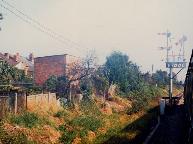
Image: © Stephen Craven Taken: 11 Sep 1985
Even in the 1980s, "lower-quadrant" signals such as these (i.e. ones that drop below the horizontal to indicate 'line clear') were rare.
Images are licensed for reuse under creativecommons.org/licenses/by-sa/2.0
Image Location
Latitude
52.189393
Longitude
-2.242486