Three Mile Hill
Introduction
The photograph on this page of Three Mile Hill by Glyn Baker as part of the Geograph project.
The Geograph project started in 2005 with the aim of publishing, organising and preserving representative images for every square kilometre of Great Britain, Ireland and the Isle of Man.

There are currently over 7.5m images from over 14,400 individuals and you can help contribute to the project by visiting https://www.geograph.org.uk
Three Mile Hill
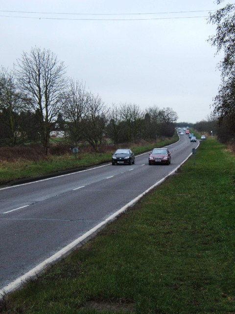
Image: © Glyn Baker Taken: 24 Feb 2006
When this picture was taken this was the A1016 (nee A12) Three Mile Hill. Recently it has changed to the A414. It is the southwestern approach to Chelmsford. The photo was taken looking southwest from near the southern boundary of Highlands Park.
Images are licensed for reuse under creativecommons.org/licenses/by-sa/2.0
Image Location
Latitude
51.702275
Longitude
0.435569