Above the A46
Introduction
The photograph on this page of Above the A46 by Tim Heaton as part of the Geograph project.
The Geograph project started in 2005 with the aim of publishing, organising and preserving representative images for every square kilometre of Great Britain, Ireland and the Isle of Man.

There are currently over 7.5m images from over 14,400 individuals and you can help contribute to the project by visiting https://www.geograph.org.uk
Above the A46
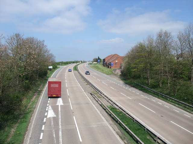
Image: © Tim Heaton Taken: 19 Apr 2009
From the flyover joining Station Road from Upper Broughton, to Back Lane from Willoughby-on-the-Wolds. Looking north along the A46, with the Best Western Hotel on the right
Images are licensed for reuse under creativecommons.org/licenses/by-sa/2.0
Image Location
Latitude
52.820253
Longitude
-1.037796