Boundary sign, near Stockton
Introduction
The photograph on this page of Boundary sign, near Stockton by Andy F as part of the Geograph project.
The Geograph project started in 2005 with the aim of publishing, organising and preserving representative images for every square kilometre of Great Britain, Ireland and the Isle of Man.

There are currently over 7.5m images from over 14,400 individuals and you can help contribute to the project by visiting https://www.geograph.org.uk
Boundary sign, near Stockton
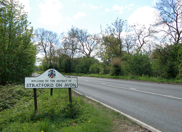
Image: © Andy F Taken: 24 Apr 2009
Looking south along the A426 north of Stockton at the boundary between Rugby Borough Council and Stratford-on-Avon District Council.
Images are licensed for reuse under creativecommons.org/licenses/by-sa/2.0
Image Location
Latitude
52.279617
Longitude
-1.361027