Leamington Avenue Playground
Introduction
The photograph on this page of Leamington Avenue Playground by Ian Capper as part of the Geograph project.
The Geograph project started in 2005 with the aim of publishing, organising and preserving representative images for every square kilometre of Great Britain, Ireland and the Isle of Man.

There are currently over 7.5m images from over 14,400 individuals and you can help contribute to the project by visiting https://www.geograph.org.uk
Leamington Avenue Playground
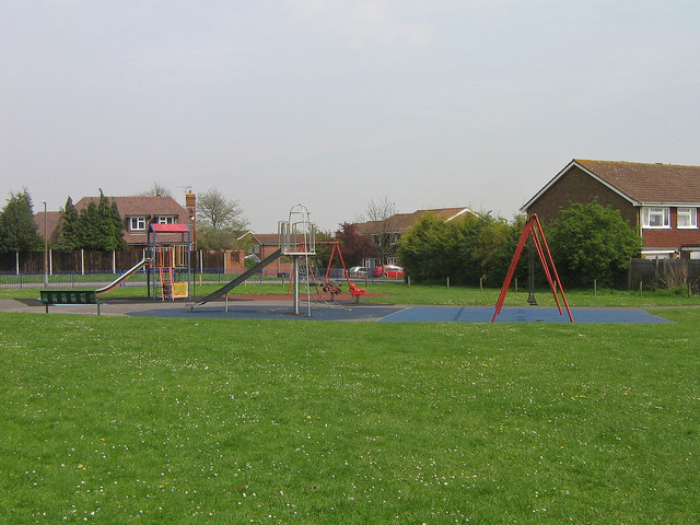
Image: © Ian Capper Taken: 21 Apr 2009
Despite its name, this playground is accessed from Southfleet Road. The reason for the apparent inconsistency is that the open space in which it is situated lies behind the gardens of houses in Leamington Avenue, and presumably existed as such before the Southfleet Road estate (in which the houses in the background are situated) was built.
Images are licensed for reuse under creativecommons.org/licenses/by-sa/2.0
Image Location
Latitude
51.365613
Longitude
0.086141