The Fleur de Lis, Cranbourne
Introduction
The photograph on this page of The Fleur de Lis, Cranbourne by Andrew Smith as part of the Geograph project.
The Geograph project started in 2005 with the aim of publishing, organising and preserving representative images for every square kilometre of Great Britain, Ireland and the Isle of Man.

There are currently over 7.5m images from over 14,400 individuals and you can help contribute to the project by visiting https://www.geograph.org.uk
The Fleur de Lis, Cranbourne
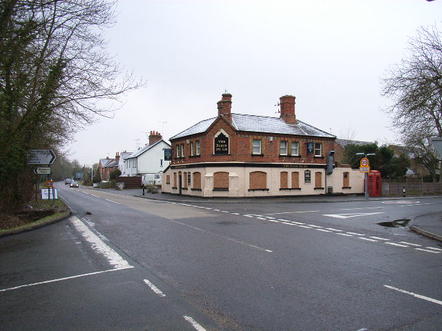
Image: © Andrew Smith Taken: 24 Feb 2006
A disused pub on the crossroads. This is the view looking southwest down the A330. The fate of the pub isn't that surprising as there is plenty of competition in the area.
Images are licensed for reuse under creativecommons.org/licenses/by-sa/2.0
Image Location


Leaflet Map data © OpenStreetMap
Latitude
51.434991
Longitude
-0.673564