Borkwood Way
Introduction
The photograph on this page of Borkwood Way by Ian Capper as part of the Geograph project.
The Geograph project started in 2005 with the aim of publishing, organising and preserving representative images for every square kilometre of Great Britain, Ireland and the Isle of Man.

There are currently over 7.5m images from over 14,400 individuals and you can help contribute to the project by visiting https://www.geograph.org.uk
Borkwood Way
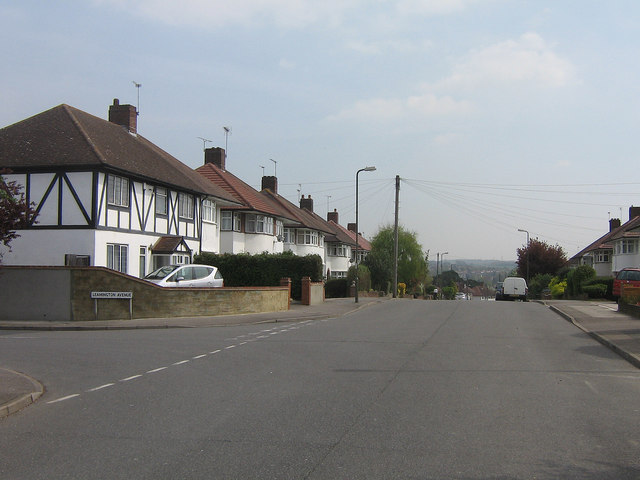
Image: © Ian Capper Taken: 21 Apr 2009
The northernmost road in the almost symmetrical Davis Estate (unlike most of the roads in the estate, its southern equivalent is lightly different in shape, as can be seen from maps).
Images are licensed for reuse under creativecommons.org/licenses/by-sa/2.0
Image Location
Latitude
51.363693
Longitude
0.083855