Path at Great Linford
Introduction
The photograph on this page of Path at Great Linford by mick finn as part of the Geograph project.
The Geograph project started in 2005 with the aim of publishing, organising and preserving representative images for every square kilometre of Great Britain, Ireland and the Isle of Man.

There are currently over 7.5m images from over 14,400 individuals and you can help contribute to the project by visiting https://www.geograph.org.uk
Path at Great Linford
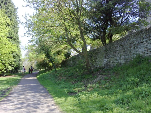
Image: © mick finn Taken: 19 Apr 2009
A path at Great Linford running alongside the walled grounds of the church, part of which is just visible top left.
Images are licensed for reuse under creativecommons.org/licenses/by-sa/2.0
Image Location
Latitude
52.072553
Longitude
-0.761266