Marshalswick from Nashes Farm
Introduction
The photograph on this page of Marshalswick from Nashes Farm by Chris Reynolds as part of the Geograph project.
The Geograph project started in 2005 with the aim of publishing, organising and preserving representative images for every square kilometre of Great Britain, Ireland and the Isle of Man.

There are currently over 7.5m images from over 14,400 individuals and you can help contribute to the project by visiting https://www.geograph.org.uk
Marshalswick from Nashes Farm
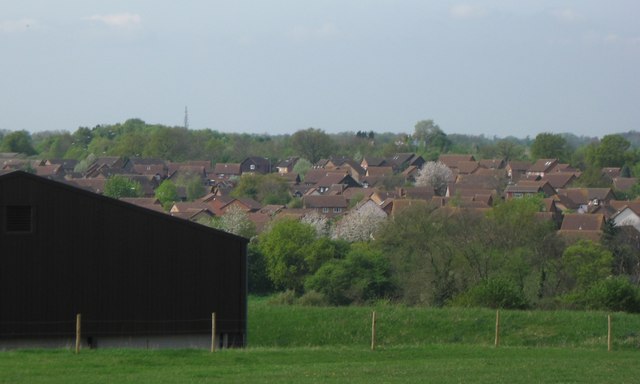
Image: © Chris Reynolds Taken: 23 Apr 2009
The picture show a farm building on Nashes Farm, with the northern part of Marshalswick beyond. Marshalswick was a large house which was demolished in the early 20th century, and the name now applies to a large area of housing developed in the 20th century.
Images are licensed for reuse under creativecommons.org/licenses/by-sa/2.0
Image Location
Latitude
51.773746
Longitude
-0.298979