Leeds Ring Road, Horsforth, Leeds
Introduction
The photograph on this page of Leeds Ring Road, Horsforth, Leeds by Rich Tea as part of the Geograph project.
The Geograph project started in 2005 with the aim of publishing, organising and preserving representative images for every square kilometre of Great Britain, Ireland and the Isle of Man.

There are currently over 7.5m images from over 14,400 individuals and you can help contribute to the project by visiting https://www.geograph.org.uk
Leeds Ring Road, Horsforth, Leeds
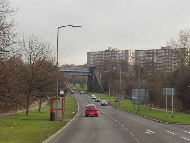
Image: © Rich Tea Taken: 20 Feb 2006
Looking east from the roundabout at Low Lane. This section of the Ring Road was built in 1936/37 and the Leodis website has a series of photographs showing the construction of the railway bridge in the existing embankment of the Leeds to Harrogate line. There is a photograph taken from almost the same position on 4th March 1937 at http://www.leodis.org/display.aspx?id=2002620_75439090 and a closer view here http://www.leodis.org/display.aspx?id=2002620_48115176
Images are licensed for reuse under creativecommons.org/licenses/by-sa/2.0
Image Location


Leaflet Map data © OpenStreetMap
Latitude
53.836742
Longitude
-1.617028