Wood Lane (6), Horsforth, Leeds
Introduction
The photograph on this page of Wood Lane (6), Horsforth, Leeds by Rich Tea as part of the Geograph project.
The Geograph project started in 2005 with the aim of publishing, organising and preserving representative images for every square kilometre of Great Britain, Ireland and the Isle of Man.

There are currently over 7.5m images from over 14,400 individuals and you can help contribute to the project by visiting https://www.geograph.org.uk
Wood Lane (6), Horsforth, Leeds
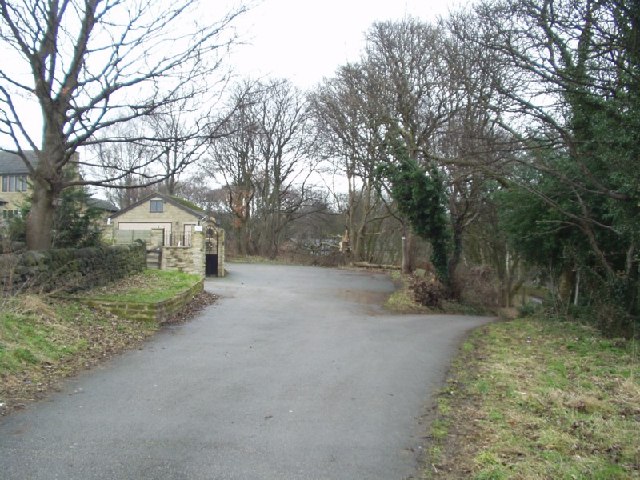
Image: © Rich Tea Taken: 22 Feb 2006
The buildings to the left are some of the houses around the much older Cragg Hill Farm, but Wood Lane dips away to the right here, to avoid part of the old quarry beyond the trees. The quarry has been filled in for many years, and just looks like a patch of rough ground.
Images are licensed for reuse under creativecommons.org/licenses/by-sa/2.0
Image Location


Leaflet Map data © OpenStreetMap
Latitude
53.833286
Longitude
-1.632559