Open ground in Popley
Introduction
The photograph on this page of Open ground in Popley by Mr Ignavy as part of the Geograph project.
The Geograph project started in 2005 with the aim of publishing, organising and preserving representative images for every square kilometre of Great Britain, Ireland and the Isle of Man.

There are currently over 7.5m images from over 14,400 individuals and you can help contribute to the project by visiting https://www.geograph.org.uk
Open ground in Popley
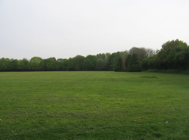
Image: © Mr Ignavy Taken: 23 Apr 2009
A large green space which hopefully will not be built upon. At the far end is the Ringway North. To the right is Abbey Road, to the left Shakespeare Road. Popley is a high density housing estate on the northern fringe of Basingstoke.
Images are licensed for reuse under creativecommons.org/licenses/by-sa/2.0
Image Location
Latitude
51.280585
Longitude
-1.086219